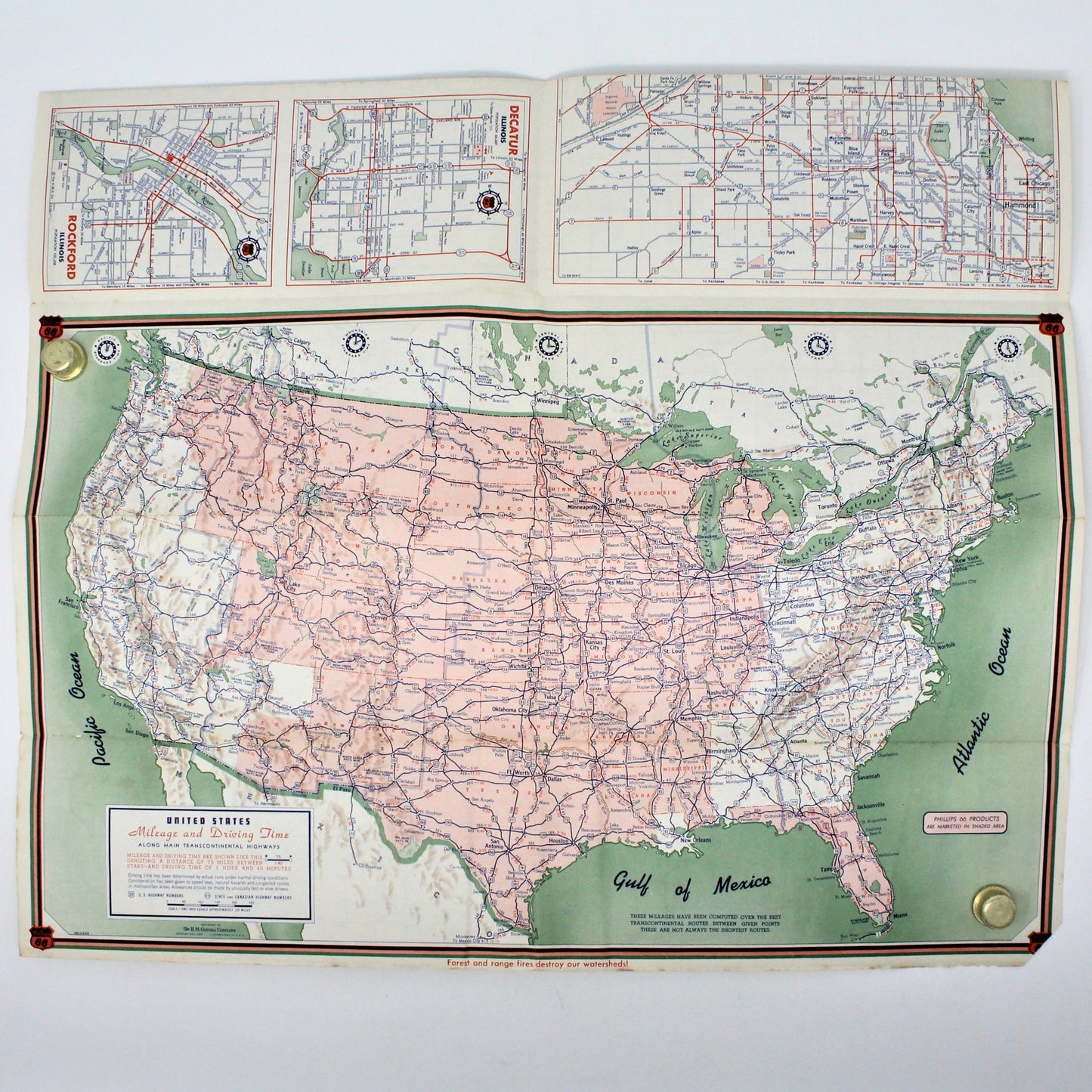
Pink, green, and white — the interior US map alone is worth framing, a snapshot of mid-century American cartography in what can only be called retro Palm Beach color.
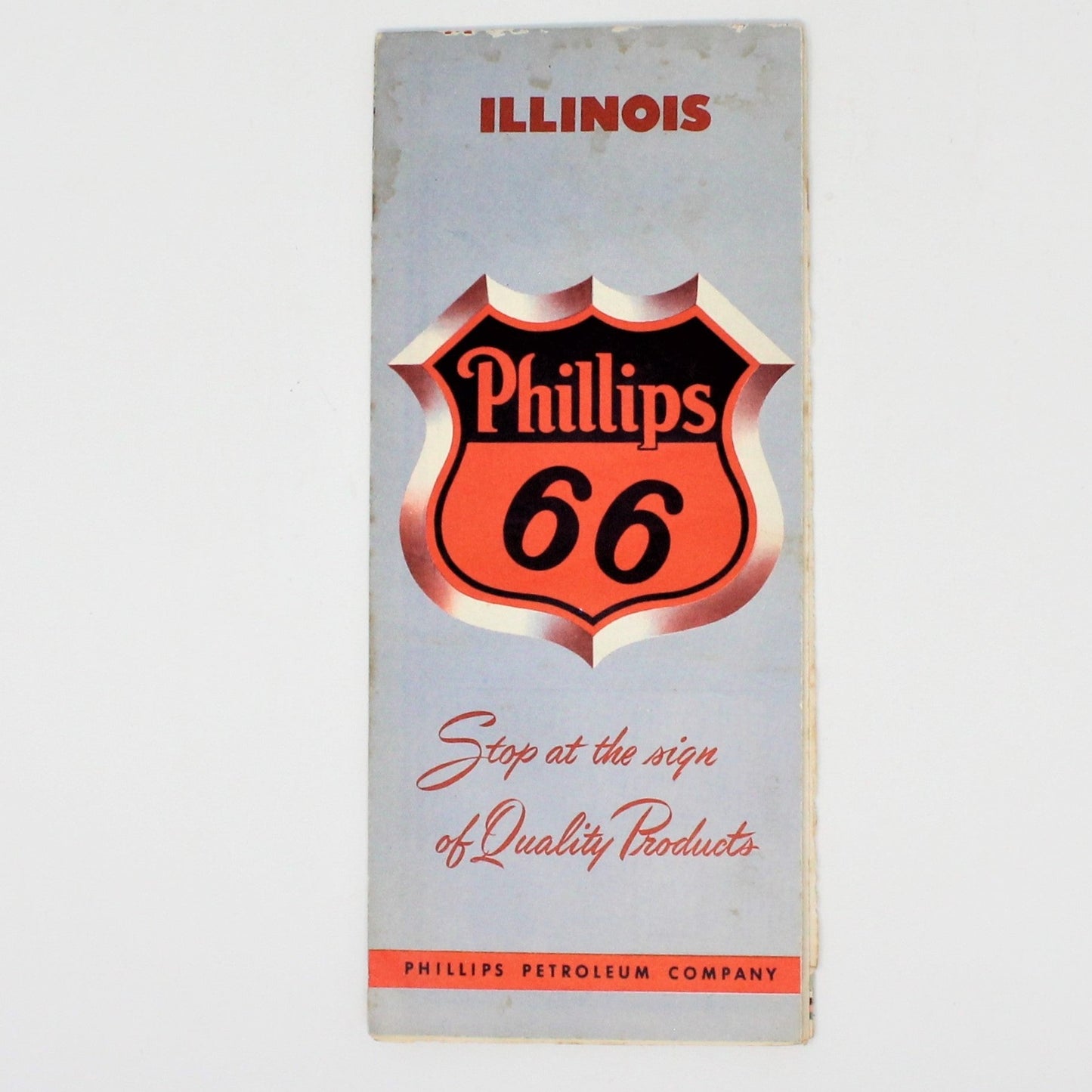
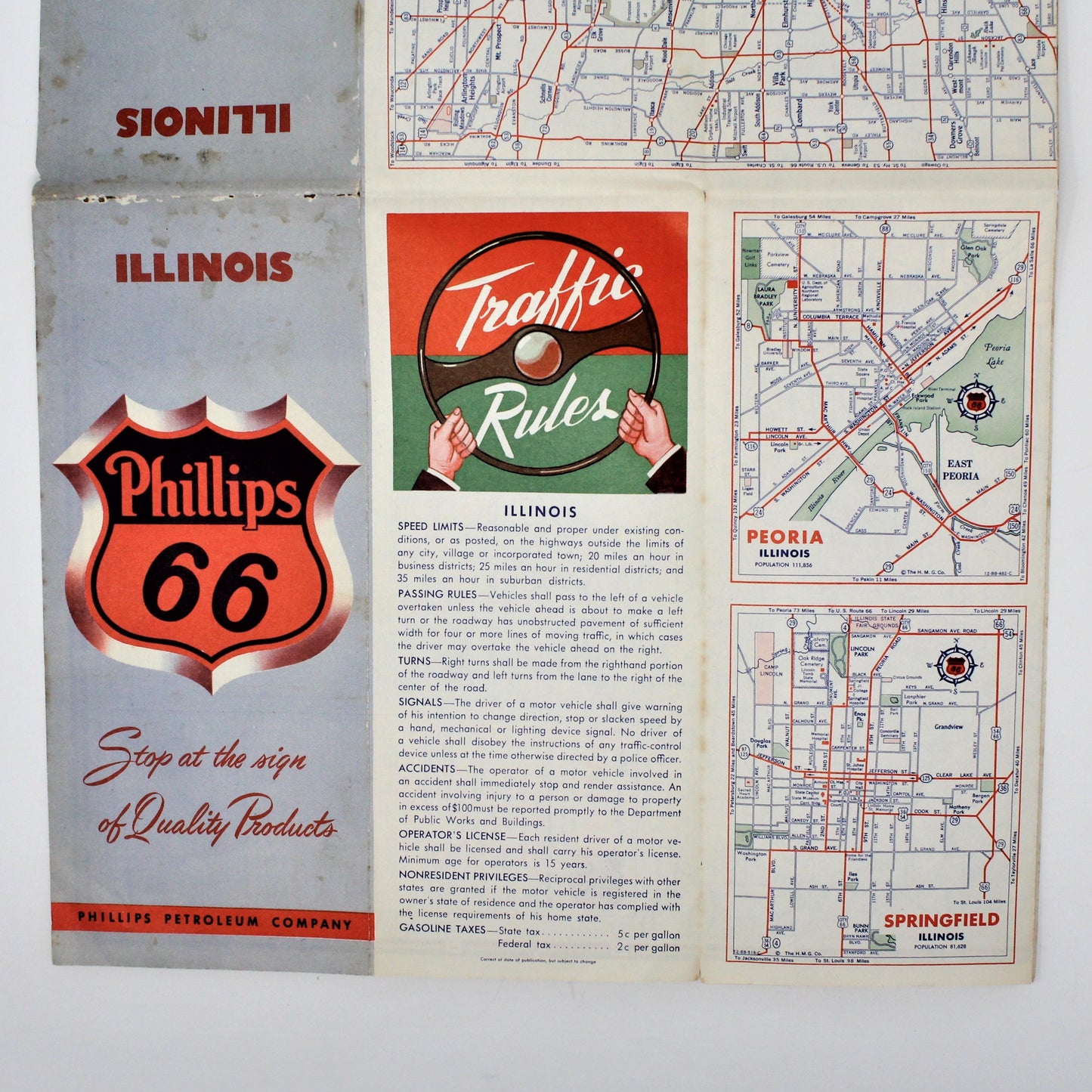
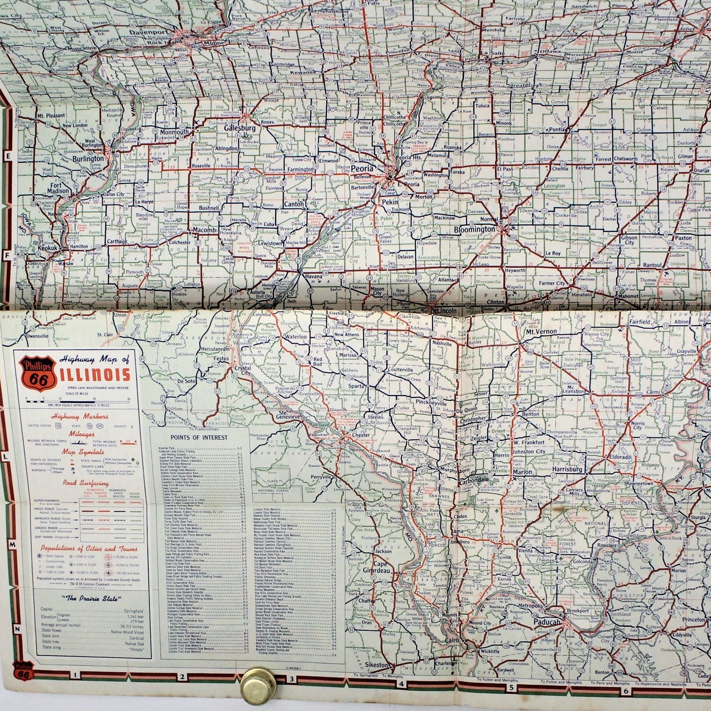
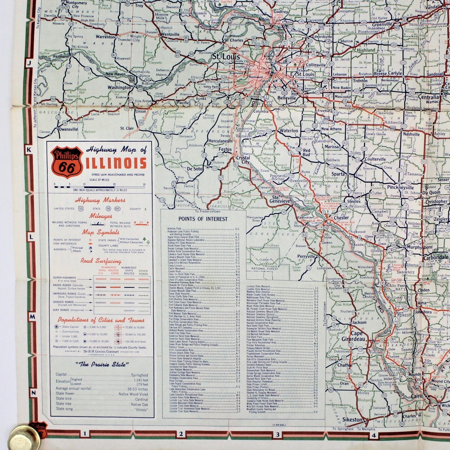
This 1954 Phillips 66 road map for Illinois was printed by H.M. Gousha, one of the "Big Three" American road map makers of the postwar era — a Chicago-born company that rivaled Rand McNally and made maps for oil companies and auto clubs across the country for decades. The cover carries the bold Phillips 66 shield logo; inside, state-specific details include populations, highway listings, and Illinois's state bird and song. The Gousha production code 480-S-9-BB dates it precisely to 1954. Cover shows minor fold-line wear and a few light stains consistent with age and use — the paper has a warm patina that only adds to its character.
A perfect gift for Illinois collectors, Phillips 66 or gas station memorabilia enthusiasts, or anyone who loves the graphic design of mid-century Americana. Display it open or folded in a vintage travel vignette.