
1
/
of
6
Chevron
Road Map, Chevron Gousha Lithograph, Western States, Vintage 1959, SOLD
Road Map, Chevron Gousha Lithograph, Western States, Vintage 1959, SOLD
Regular price
$0.00
Regular price
Sale price
$0.00
Shipping calculated at checkout.
Quantity
Couldn't load pickup availability
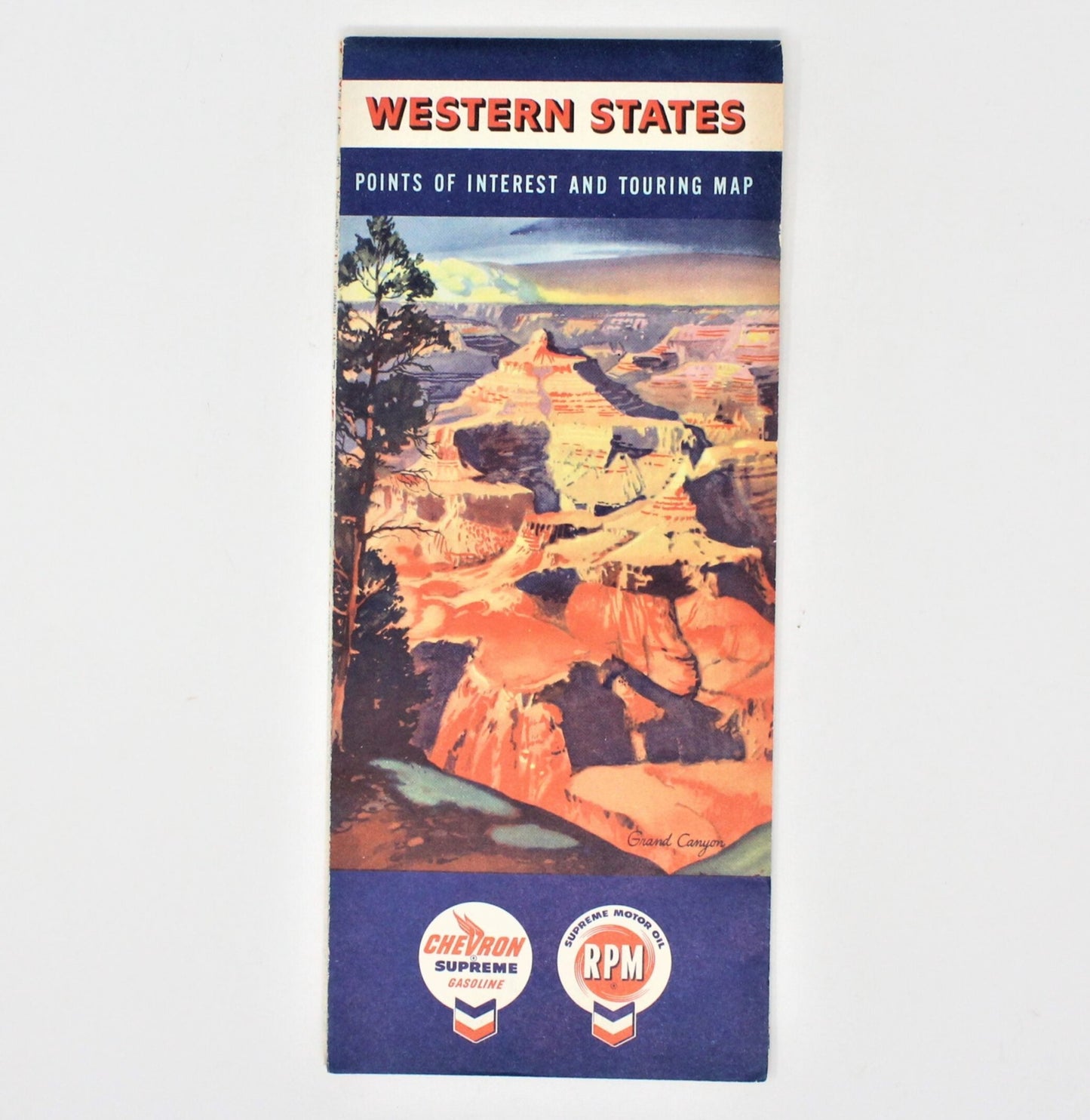
- Pattern: Vintage Road Map, Chevron Western States, Grand Canyon
- Made in USA
- Vintage: Copyright 1959
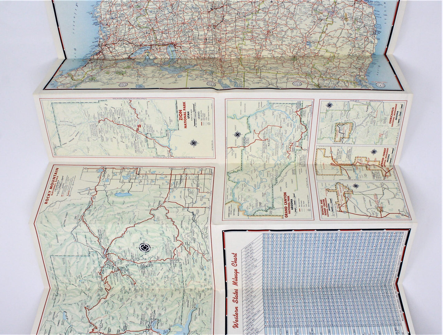
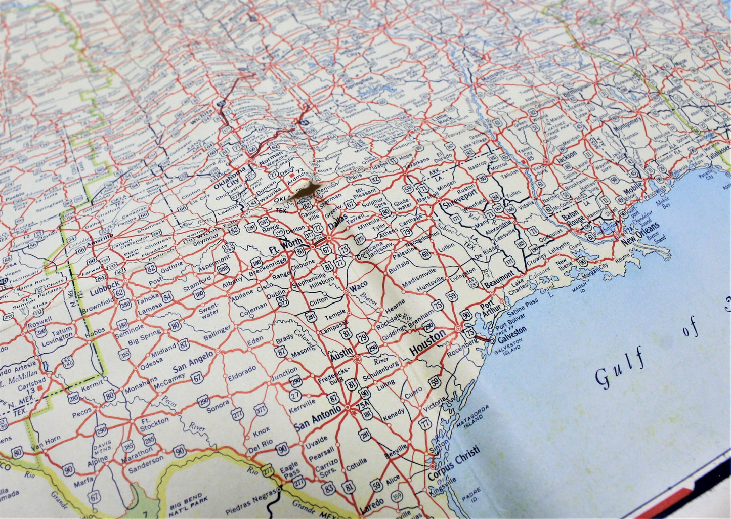
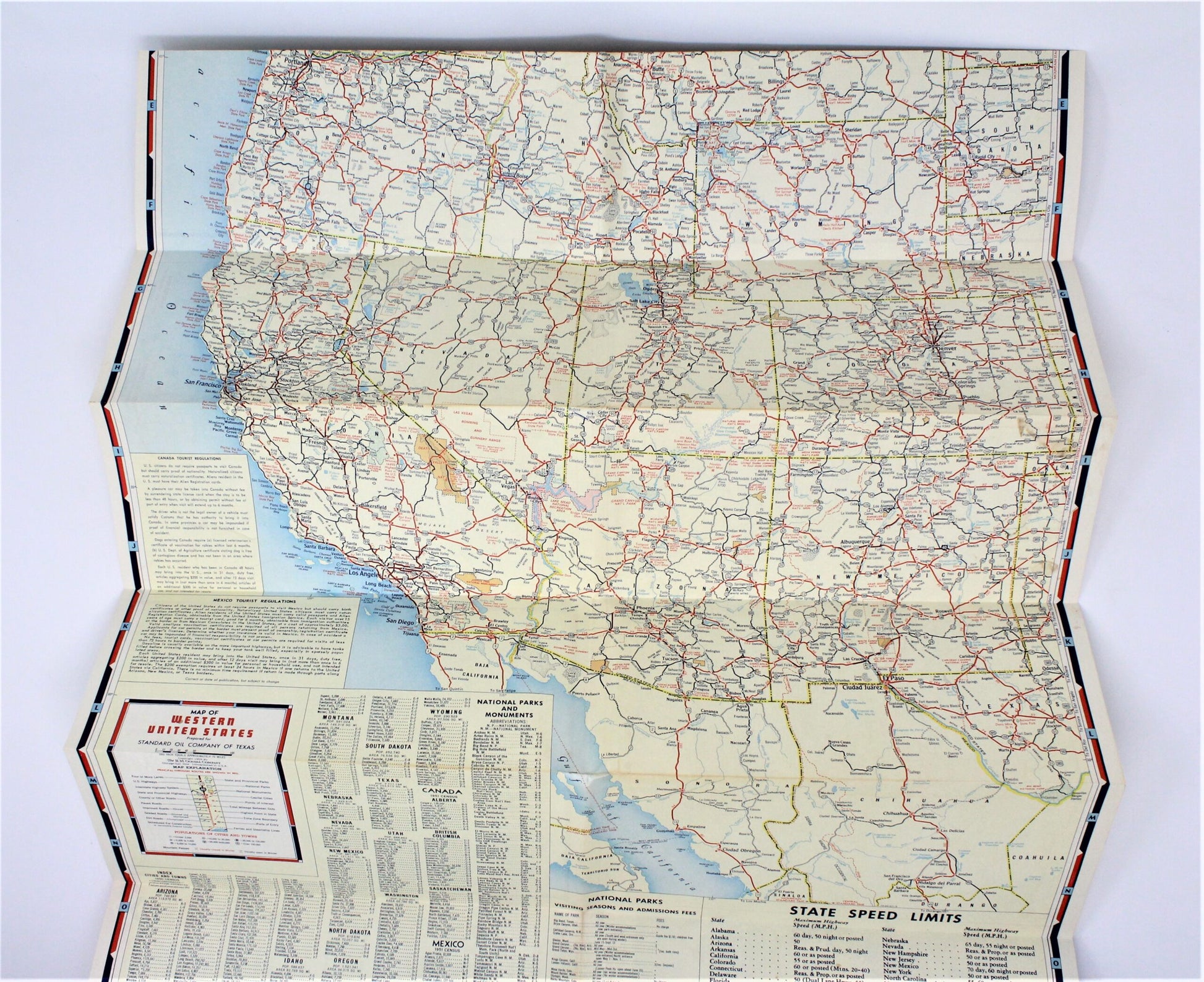
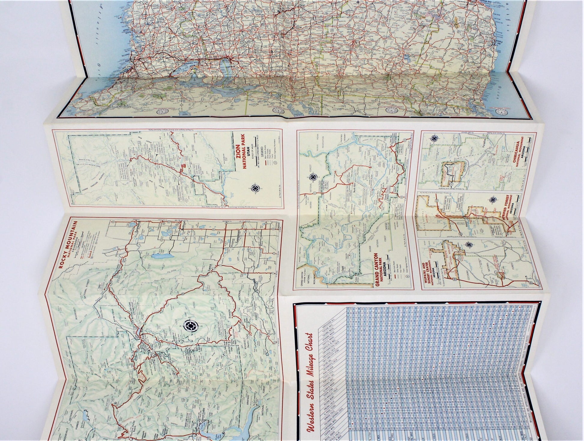
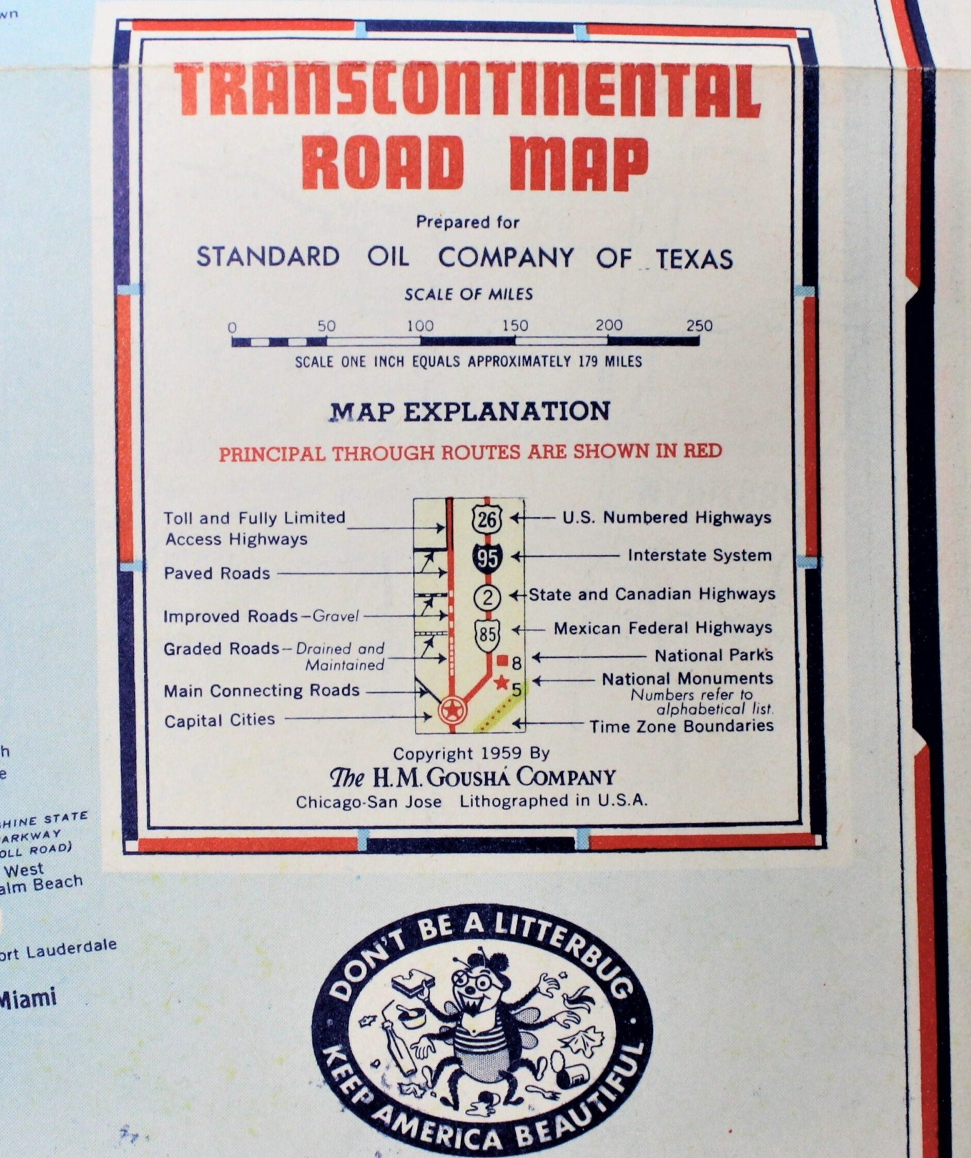
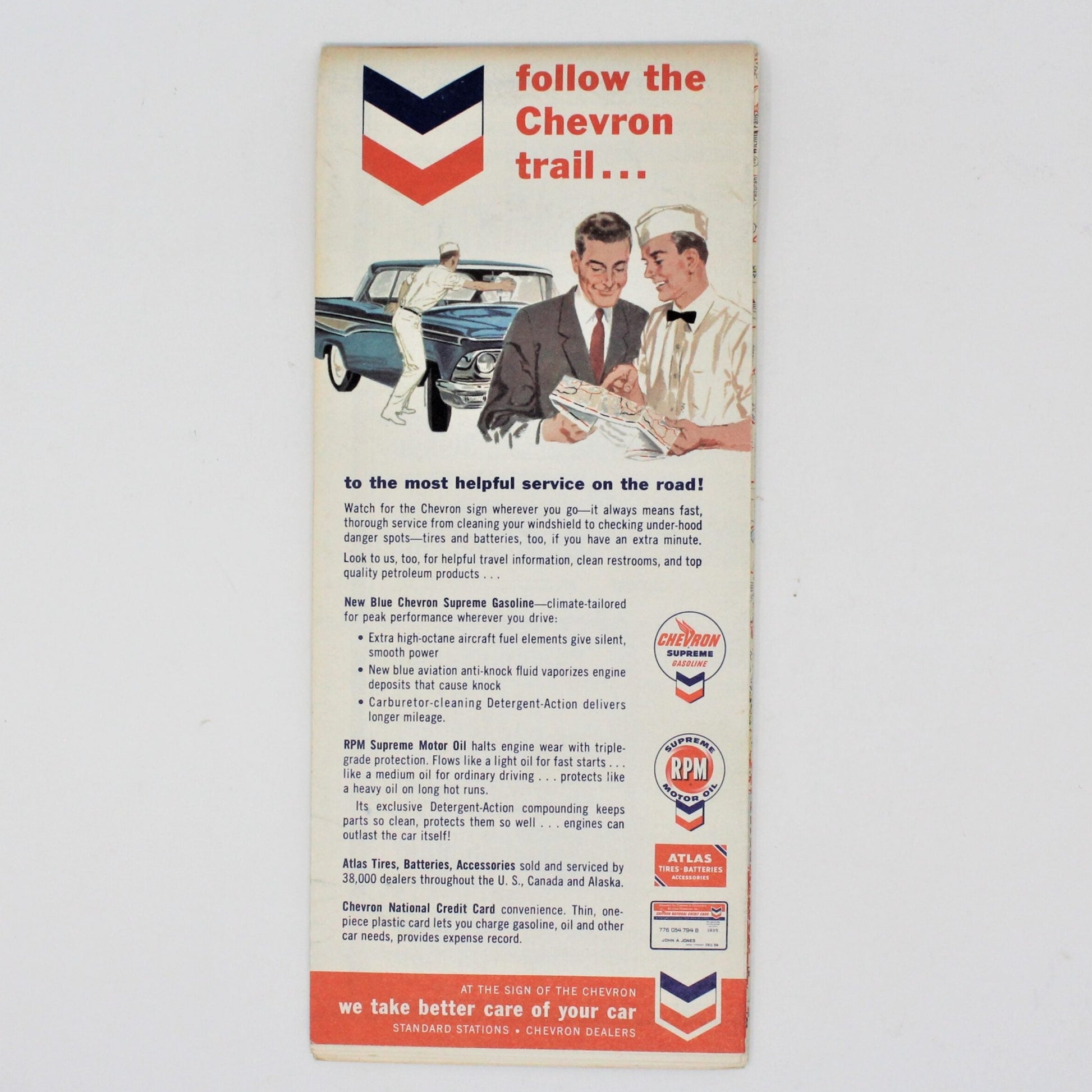
- Details: This is such a beautiful map, and hard to find! Made by the H.M. Gousha Company, Chicago, it encompasses all the Western States: California, Nevada, Washington, Idaho, Wyoming, Colorado, Arizona, Montana, Utah, New Mexico, Oregon. On the cover, the lithograph depicts a scene from the Grand Canyon. Inside there are larger maps of several points of interest like: Rocky Mountain National Park, Zion National Park, Chiricahua National Monument, Grand Canyon National Park, and others. Truly a map to be treasured, it is from what is known as the "Silver Age" of automobile maps because this period of maps has the most beautiful scenes, bright colors and great graphics. This map is the perfect gift for a collector, whether collecting for nostalgia, great illustrations, a gas station collection, local history, map makers, or memories of a visited/lived-in destination, there are many reasons to start or continue this great and relatively inexpensive hobby. If this is your hobby, we hope this map brings you joy.
- Material: Paper
- Dimensions: 9" by 4" Folded
- Condition: Vintage - Used. Good Vintage Condition. The paper is yellowing but this is consistent with its age. We found one tear on a fold line, otherwise there are no stains, writing or other damage. Please review all pictures and make sure you love this item before purchasing, we can't accept returns. Please remember these are VINTAGE and ANTIQUE items, every effort has been made to show any scratches, wear and tear and imperfections.
Share